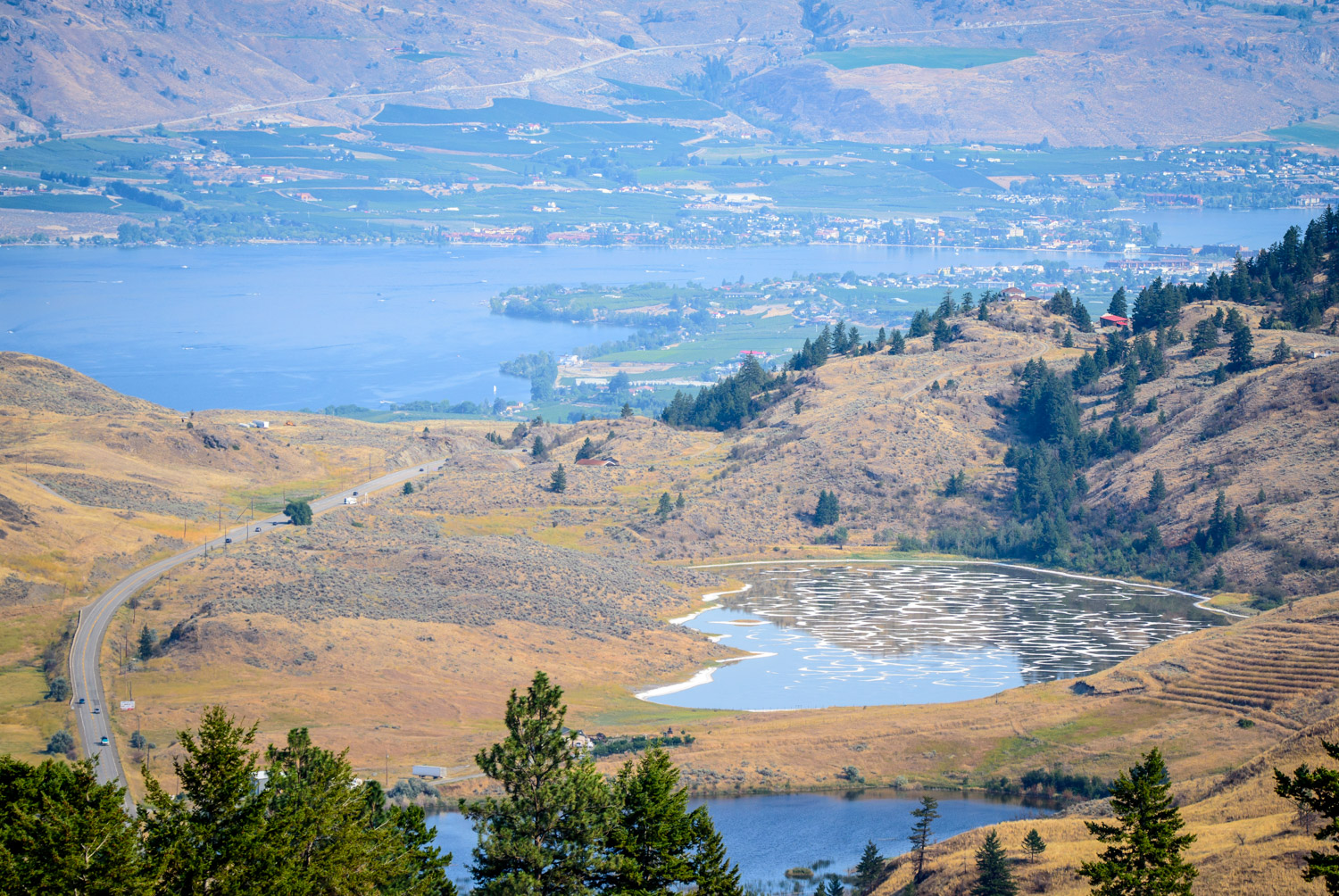
From the road up Mount Kobau, you can look down on Spotted Lake, a unique lake known for its rings of mineral-rich mud. With water levels still quite high from the rainfall in the spring, despite the summer drought, the rings aren’t as visible as they usually are at this time of year. (Richard McGuire photo)
Mount Kobau and Spotted Lake, both west of Osoyoos, BC, are areas of great natural beauty that are also sacred in local Indigenous tradition. I took a drive part way up Mount Kobau late in the afternoon on the last Sunday of August when the wildfire smoke was lighter than usual for this year. From viewpoints on Mount Kobau, you can look down on Spotted Lake in the distance, with the help of a long lens. Later, I stopped at a highway pullout to admire Spotted Lake from closer. With all the flooding this spring, the mud rings in the lake are less visible, despite the summer drought. (Richard McGuire photos)

I encountered this black bear on a drive up Mount Kobau at the end of August. He or she didn’t stick around long enough for me to get a decent shot before heading off into the brush. And no, I didn’t try to walk up and take a selfie with it using my smart phone. This used a long lens and was taken from my car. (Richard McGuire photo)

From the road up Mount Kobau, you can look down on Spotted Lake, a unique lake known for its rings of mineral-rich mud. With water levels still quite high from the rainfall in the spring, despite the summer drought, the rings aren’t as visible as they usually are at this time of year. (Richard McGuire photo)

From the road up Mount Kobau, you can look down on Spotted Lake, a unique lake known for its rings of mineral-rich mud. With water levels still quite high from the rainfall in the spring, despite the summer drought, the rings aren’t as visible as they usually are at this time of year. (Richard McGuire photo)

From the road up Mount Kobau, you can look down on Spotted Lake, a unique lake known for its rings of mineral-rich mud. With water levels still quite high from the rainfall in the spring, despite the summer drought, the rings aren’t as visible as they usually are at this time of year. (Richard McGuire photo)

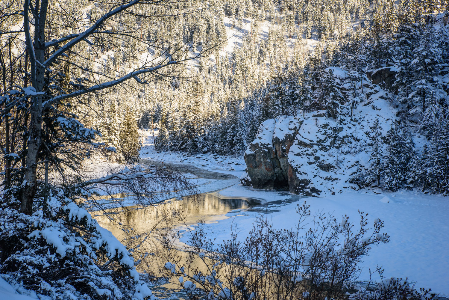
Two years ago, in 2015, fire tore up the side of Mount Kobau near Osoyoos leaving charred trees behind. Today there is new plant growth, though the charred trees still remain. (Richard McGuire photo)

Two years ago, in 2015, fire tore up the side of Mount Kobau near Osoyoos leaving charred trees behind. Today there is new plant growth, though the charred trees still remain. (Richard McGuire photo)

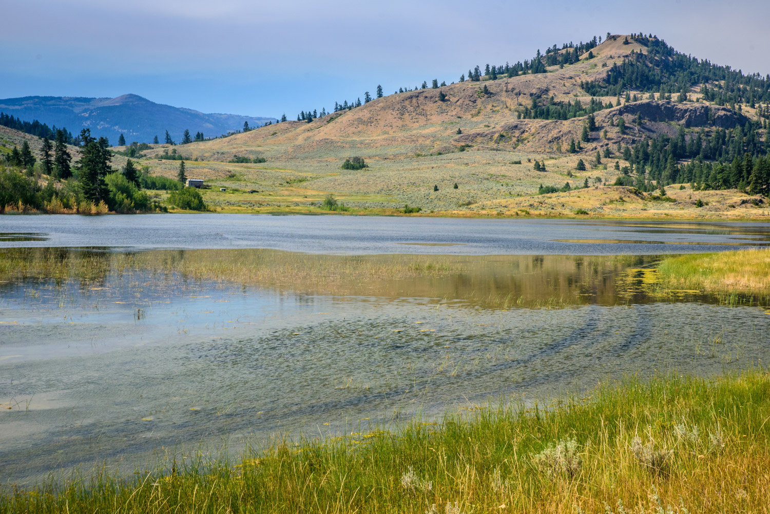
I took these photos of Spotted Lake just west of Osoyoos from behind the gate at the highway using a long lens. The lake is considered sacred by local First Nations. The Okanagan Nation Alliance, which owns the land, restricts entry. (Richard McGuire photo)

I took these photos of Spotted Lake just west of Osoyoos from behind the gate at the highway using a long lens. The lake is considered sacred by local First Nations. The Okanagan Nation Alliance, which owns the land, restricts entry. (Richard McGuire photo)

I took these photos of Spotted Lake just west of Osoyoos from behind the gate at the highway using a long lens. The lake is considered sacred by local First Nations. The Okanagan Nation Alliance, which owns the land, restricts entry. (Richard McGuire photo)

I took these photos of Spotted Lake just west of Osoyoos from behind the gate at the highway using a long lens. The lake is considered sacred by local First Nations. The Okanagan Nation Alliance, which owns the land, restricts entry. (Richard McGuire photo)

I took these photos of Spotted Lake just west of Osoyoos from behind the gate at the highway using a long lens. The lake is considered sacred by local First Nations. The Okanagan Nation Alliance, which owns the land, restricts entry. (Richard McGuire photo)

I took these photos of Spotted Lake just west of Osoyoos from behind the gate at the highway using a long lens. The lake is considered sacred by local First Nations. The Okanagan Nation Alliance, which owns the land, restricts entry. (Richard McGuire photo)

There was relatively little of the smoke that has plagued the Okanagan most of this summer when I took this photo at Osoyoos Airport in late August. The sun was about to go down and the sagebrush and antelope brush were lit up in gold light. (Richard McGuire photo)