
New Denver sits on the eastern shore of Slocan Lake, looking out at the mountains of the Valhalla Range. (Richard McGuire photo)
The Slocan Valley is a gorgeous corner of B.C.’s Kootenays in the shadow of the Valhalla Mountain Range, with lakes and rivers.
I took a camping trip to this area on the last weekend of May and visited its former mining boom towns. Some of these are small communities today like New Denver, Silverton and Slocan. Others, like Sandon and Retallack are — to some extent of completely — ghost towns.
I was fortunate to have great weather. The blossoms and lilacs were blooming and at the time, the rivers and lakes were very high, but I saw no evidence of serious flooding.
(Richard McGuire photos)


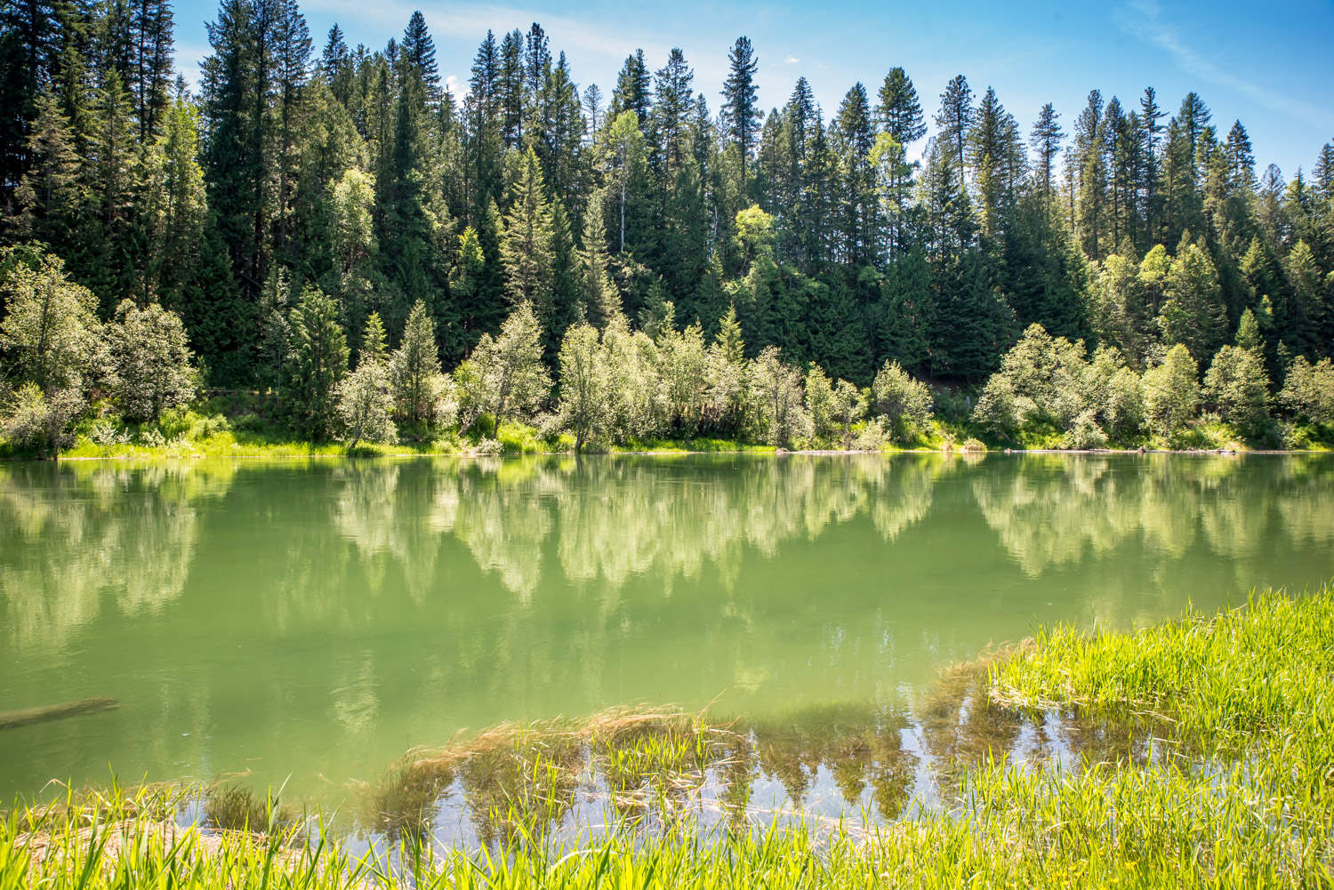


I camped next to Wilson Creek in Rosebery Provincial Park. The water was raging with high spring runoff. (Richard McGuire photo)

New Denver has many lovely old downtown buildings with false front architecture. The lilacs were also in full bloom, along with other blossoms, when I visited at the end of May. (Richard McGuire photo)

New Denver has many lovely old downtown buildings with false front architecture. The lilacs were also in full bloom, along with other blossoms, when I visited at the end of May. (Richard McGuire photo)

This former Bank of Montreal building in downtown New Denver is now the home of the Silvery Slocan Museum and tourist information office. New Denver, like other towns in the area, was developed at the end of the 19th century when silver mines in the area prospered. It originally was called El Dorado, but it was then named after Denver, Colorado amid hopes it would surpass its U.S. counterpart. That never happened, and the population today is only around 500. During World War II, about 1,500 Japanese-Canadians were interned in New Denver. (Richard McGuire photo)

You can learn a lot about a small town by looking at its notice boards. (Richard McGuire photo)

I went into New Denver early Saturday morning and the sun was shining, the temperature was just right and the blossoms were blooming. I could have been convinced to stay there. (Richard McGuire photo)

Silverton, just south of New Denver, is another town of the Slocan built around silver. This is the municipal hall and in the background is a former school, now a gallery and museum, with interesting mining machinery on the lawn outside. (Richard McGuire photo)

Outside the former school in Silverton, now a museum and gallery, there’s an interesting collection of machinery from the town’s mining heyday. (Richard McGuire photo)

Silverton is located on the banks of Slocan Lake. You can camp right on the water and look across at the Valhalla Range, or take a boat out on the lake and go fishing. (Richard McGuire photo)

This store on Highway 6 in Silverton appeared to be closed down. The building had a lot of character. (Richard McGuire photo)

The Valhalla Range rises up to the west of Slocan Lake. Much of it is in Valhalla Provincial Park. (Richard McGuire photo)

With snow from the mountains of the Valhalla Range rapidly melting, forest streams like Mulvey Creek were swollen with rushing water. Sun beams find their way down through the water spray between tall trees into this rocky canyon covered in moss. (Richard McGuire photo)

The sun beams down between tall trees in a small valley next to Mulvey Creek west of the Slocan River. (Richard McGuire photo)

South of the village of Slocan, the valley becomes less rugged and it opens up into farmland. The Slocan River was very high with all the snowmelt. (Richard McGuire photo)

A snowy peak in the Valhalla Range rises above the Slocan Valley. (Richard McGuire photo)

Across the Slocan River from Winlaw is the small, but pretty, Winlaw Regional & Nature Park. The sun beat down on the trees, which reflected in the river that I walked down to along a boardwalk for a picnic. (Richard McGuire photo)

The Prospectors Pick is a shop in the former city hall in Sandon, once a thriving mining city at the end of the 19th century. The store sells books, souvenirs, antiques, gifts and refreshments as well as dispensing helpful advice and information to visitors. (Richard McGuire photo)

This is the old Sandon City Hall that was built in 1900. That year a fire burned down much of the booming mining city, that was mostly made from wood. Sandon’s population reached a peak of around 5,000 before the fire and it had more than 40 brothels to serve the largely male miner population. After the fire, it never recovered its former glory, but it continued well into the 20th century. (Richard McGuire photo)

These old Vancouver trolleys have found a resting place in the semi-ghost town of Sandon in the mountains above the Slocan Valley. I rode in trolleys like this in Vancouver in the 1970s when they were operated by BC Hydro. These ones had BC Transit insignia on them, so I’m guessing they were used at least into the 1980s, when BC Transit was formed. (Richard McGuire photo)

Many old trolleys have been taken to Sandon where they are awaiting restoration. This one was used in Vancouver and I remember riding in many of this type when I lived there in the 1970s. (Richard McGuire photo)

An old steam locomotive sits on a small track in Sandon, a former mining city that was served by two railways at its heyday at the end of the 19th century. (Richard McGuire photo)

An old cash register and manual typewriter are among the historic objects that can be seen at the Prospector’s Pick in Sandon. There’s also a museum up the street showing the history of this old mining city that is now a semi-ghost town. (Richard McGuire photo)

One of the few brick buildings of Sandon (right) is now the museum. In the city’s heyday, Carpenter Creek, in the foreground below the frame, was covered over by a main street. A few buildings from this former mining boomtown of 5,000 are still scattered around the valley. (Richard McGuire photo)

A few buildings from the former mining town of Retallack still stand next to Highway 31A in the pass between New Denver and Kaslo. The town was known as Whitewater in its heyday at the turn of the last century, but it was destroyed by a wildfire. It later was named Retallack and mining continued to 1967. These buildings date from around the mid-20th century. (Richard McGuire photo)

I saw this moose feeding on vegetation in a pond next to the highway at a bit of a distance. By the time I’d stopped my vehicle and put on my longest lens, it had warily wandered out of the pond and into the grass behind it. (Richard McGuire photo)